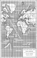
Пять недель на воздушном шаре
Mapa Střední Afriky s plánem cesty doktora Fergussona- Full size (511 kB)
- Screen size (117 kB)
This is a slightly adapted Czech version of the map that appeared in the original Hetzel edition.
Этот раздел является русскоязычным зеркалом Интернет страницы http://www.phys.uu.nl/~gdevries/maps/othermaps.cgi. Все права принадлежат автору страницы, Гарма де Врие.
This page is a russian mirror of http://www.phys.uu.nl/~gdevries/maps/othermaps.cgi. All the rights belong to the author of page, Garmt de Vries.
Вы можете купить книги:
Лучшие и популярные книги Жюль Верна. Старинные издания, собрания сочинений. Ежедневное обновление и автоматическая сортировка самых покупаемых произведений!
Как дополнение к моей основной коллекции карт в разделе Невероятных приключений, это собрание сделано в том же самом стиле как оригинальные карты от Hetzel, но на других языках, или с некоторыми различиями.
Эти карты не могут быть использованы в коммерческих целях.
|
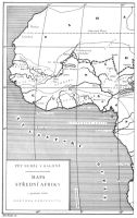
Пять недель на воздушном шареMapa Střední Afriky s plánem cesty doktora Fergussona
This is a slightly adapted Czech version of the map that appeared in the original Hetzel edition. |
 |
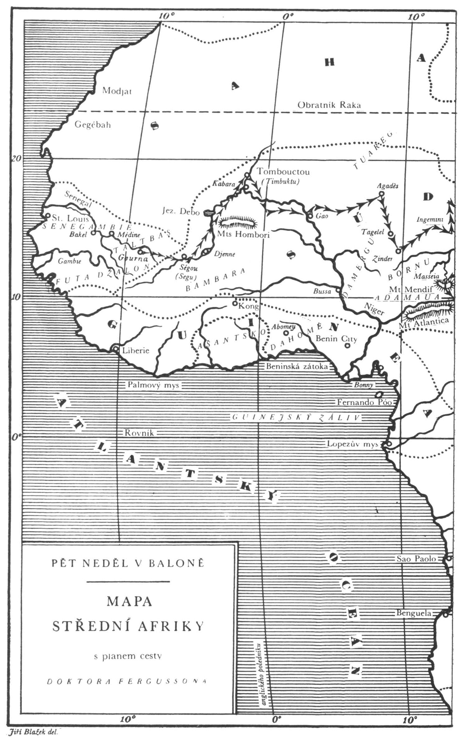
Пять недель на воздушном шареMapa Střední Afriky s plánem cesty doktora Fergussona
This is a slightly adapted Czech version of the map that appeared in the original Hetzel edition. |
 |
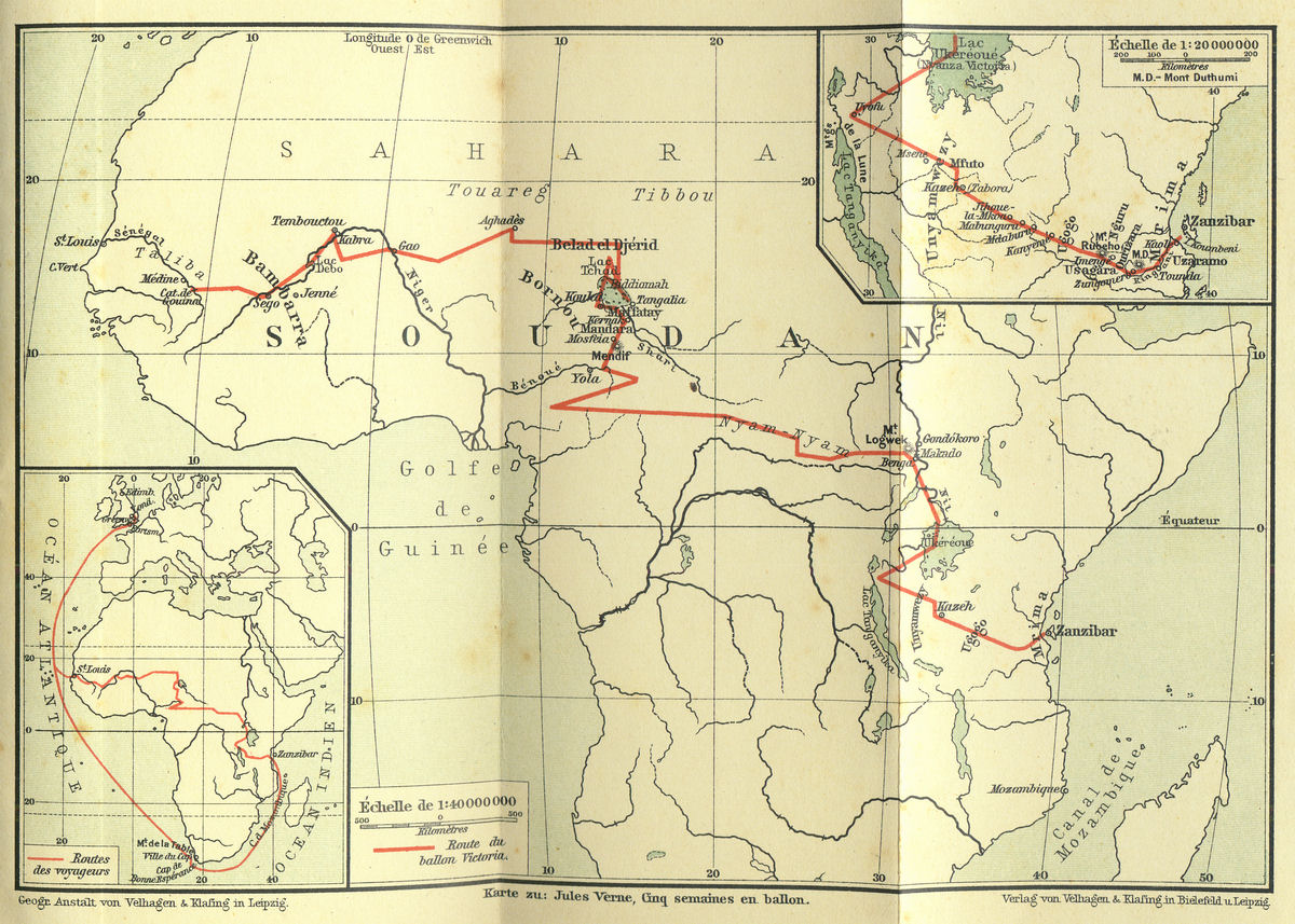
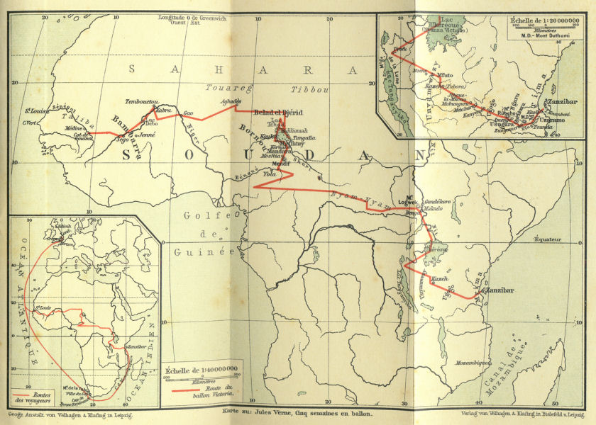
Пять недель на воздушном шареKarte zu: Jules Verne, Cinq semaines en ballon
This is a slightly adapted German version of the map that appeared in the original Hetzel edition. |
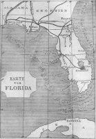 |
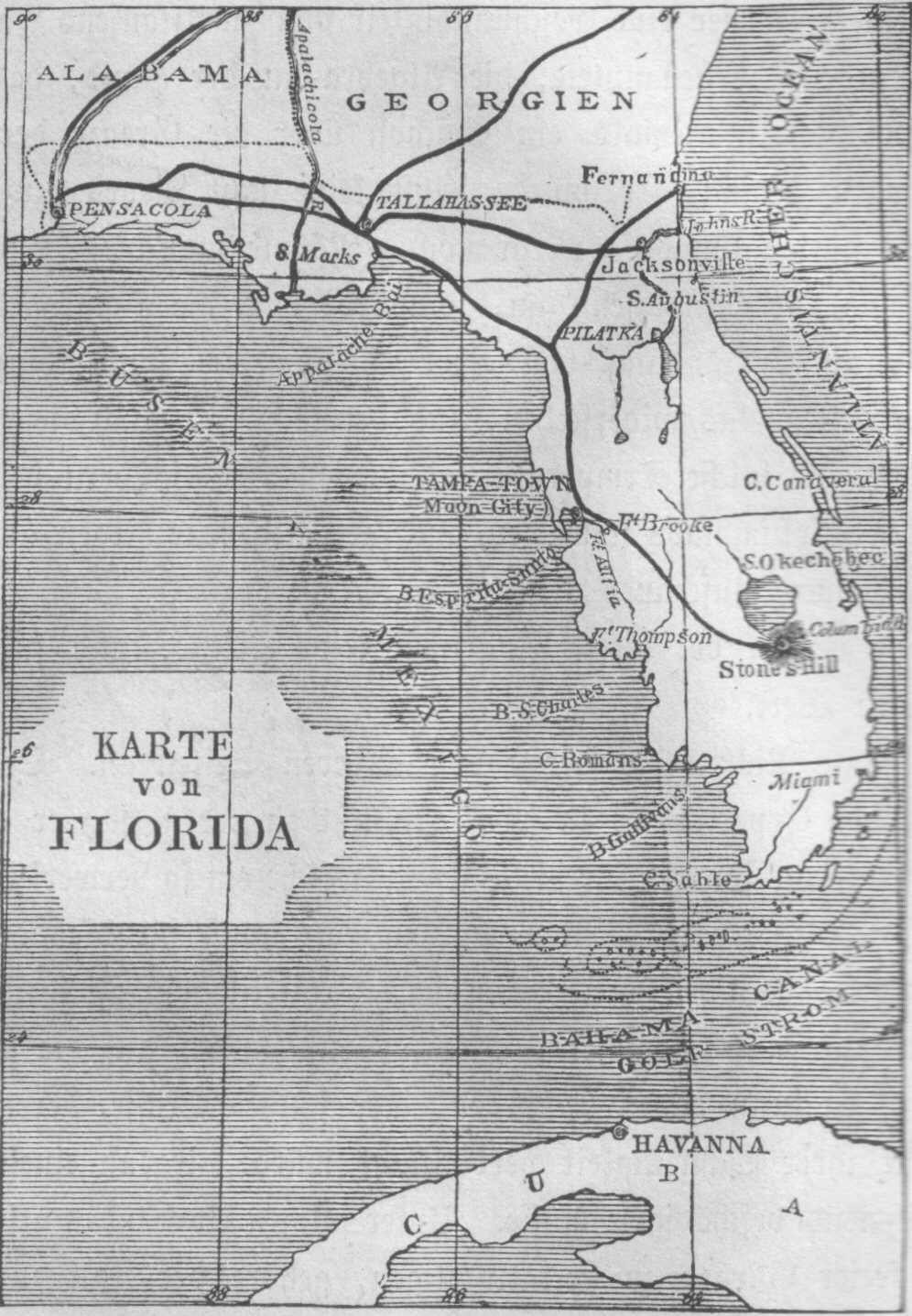
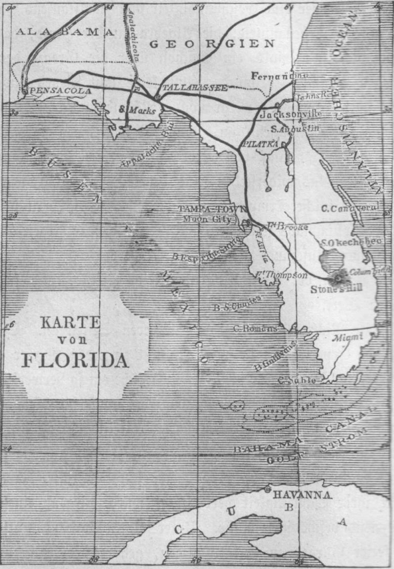
С Земли на ЛунуKarte von Florida
This is a German version of the map that appeared in the original Hetzel edition. |
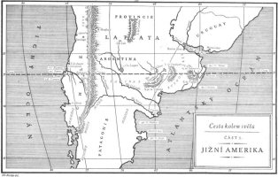 |
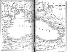
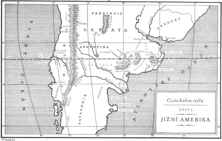
В поисках капитана ГрантаCesta kolem světaČást 1. Jižní Amerika
This is a Czech version of the map that appeared in the original Hetzel edition. |
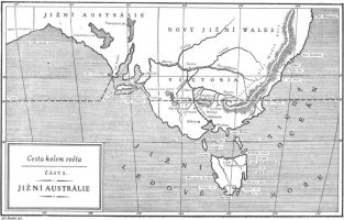 |
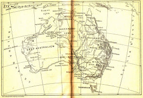
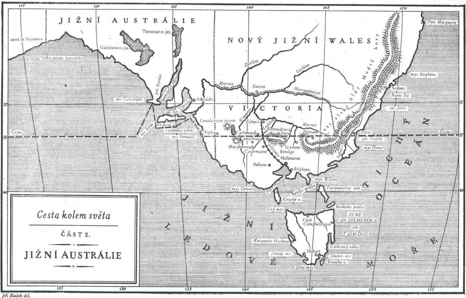
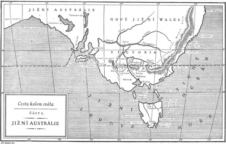
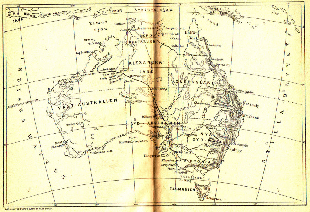
В поисках капитана ГрантаCesta kolem světaČást 2. Jižní Austrálie
This is a Czech version of the map that appeared in the original Hetzel edition. |
 |
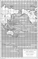
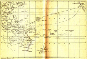
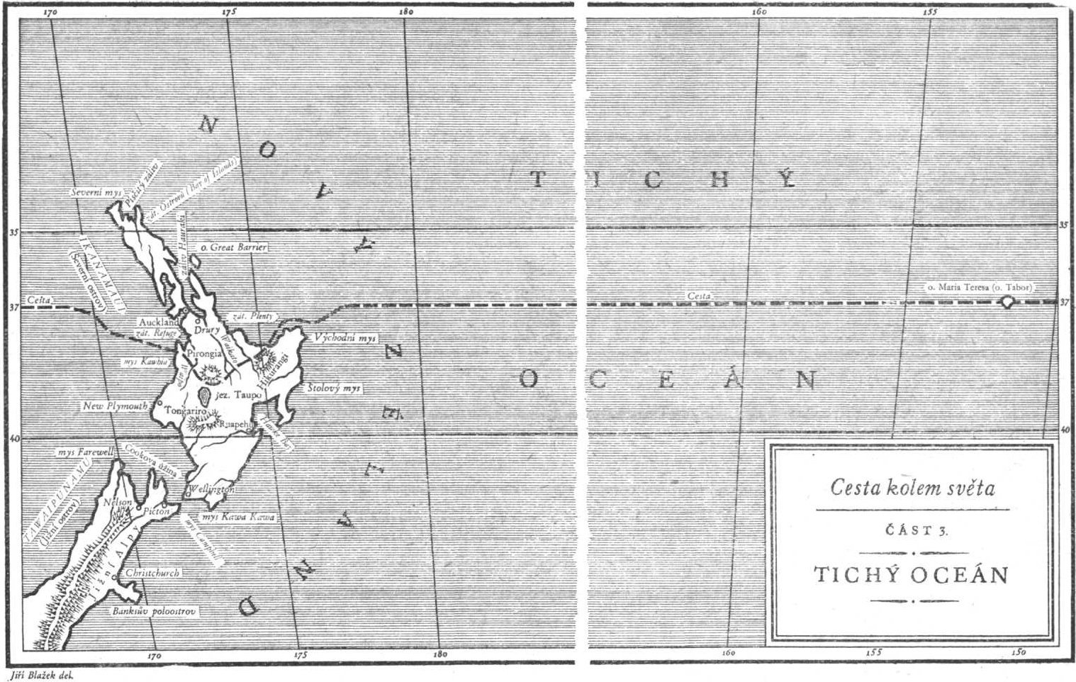
В поисках капитана ГрантаCesta kolem světaČást 3. Tichý oceán
This is a Czech version of the map that appeared in the original Hetzel edition. |
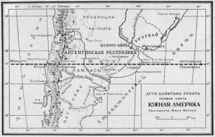 |
В поисках капитана ГрантаДети капитана Грантапервая карта Южная Америка Составлена Жюль Верном
This is a Russian version of the map that appeared in the original Hetzel edition. |
 |
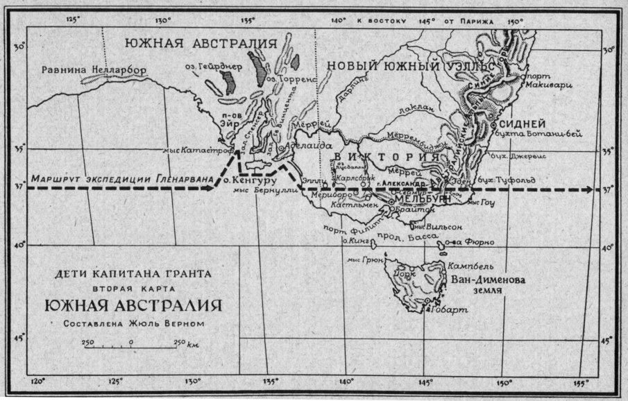
В поисках капитана ГрантаДети капитана Грантавторая карта Южная Австралия Составлена Жюль Верном
This is a Russian version of the map that appeared in the original Hetzel edition. |
 |
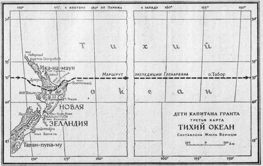
В поисках капитана ГрантаДети капитана Грантатретья карта Тихий Океан Составлена Жюль Верном
This is a Russian version of the map that appeared in the original Hetzel edition. |
 |
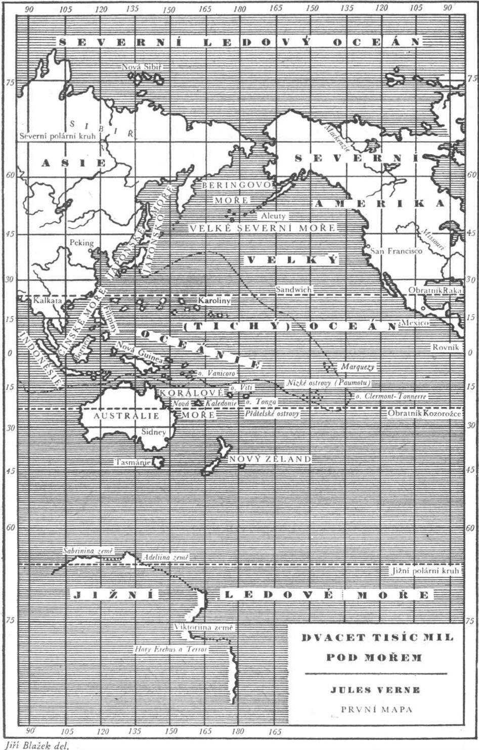
Двадцать тысяч лье под водойDvacet tisíc mil pod mořemJules Verne První mapa
This is a Czech version of the map that appeared in the original Hetzel edition. |
 |
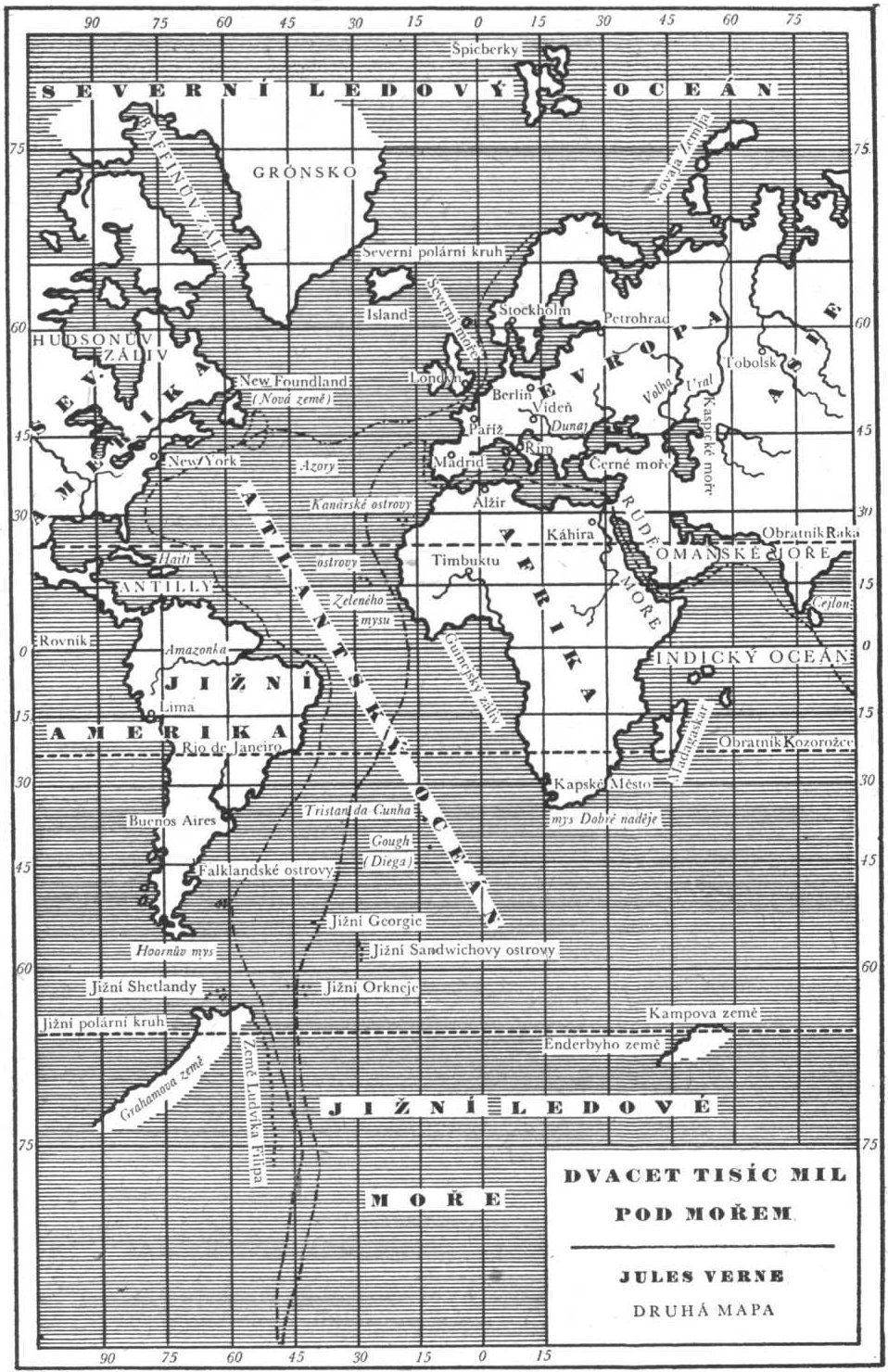
Двадцать тысяч лье под водойDvacet tisíc mil pod mořemJules Verne Druhá mapa
This is a Czech version of the map that appeared in the original Hetzel edition. |
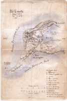 |
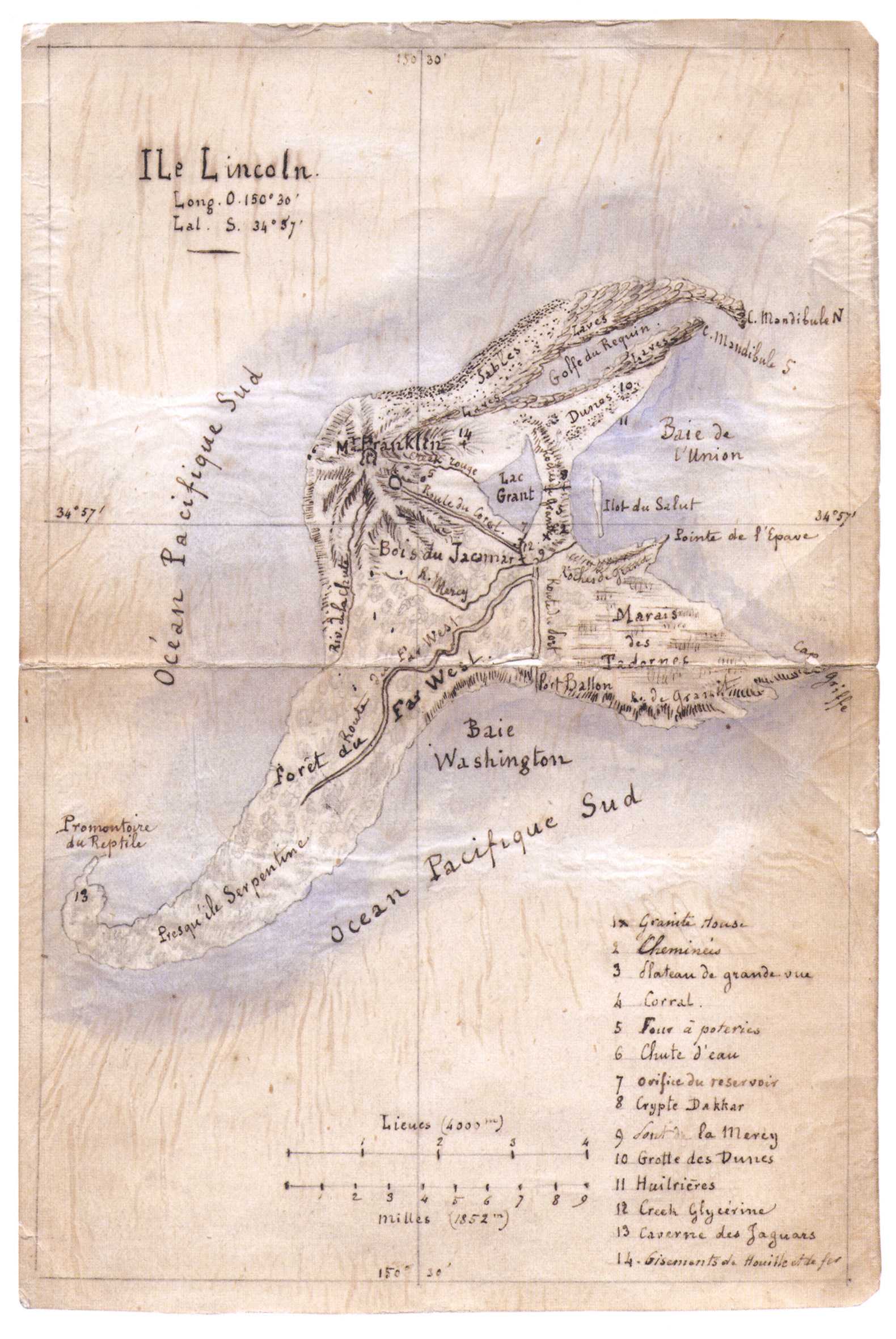
Таинственный островÎle LincolnLong. O. 150° 30’ Lat. S. 34° 57’
This map was hand-drawn by Jules Verne himself when he was writing L’Île mystérieuse. |
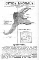 |
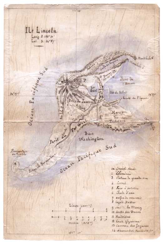
Таинственный островThis is a Czech version of the map that appeared in the original Hetzel edition.
Ostrov Lincolnův. Tajemný ostrov. […] Kresleno dle franc. origin. Francouzský originál kreslil Jul. Verne. |
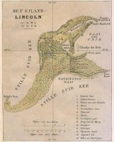 |
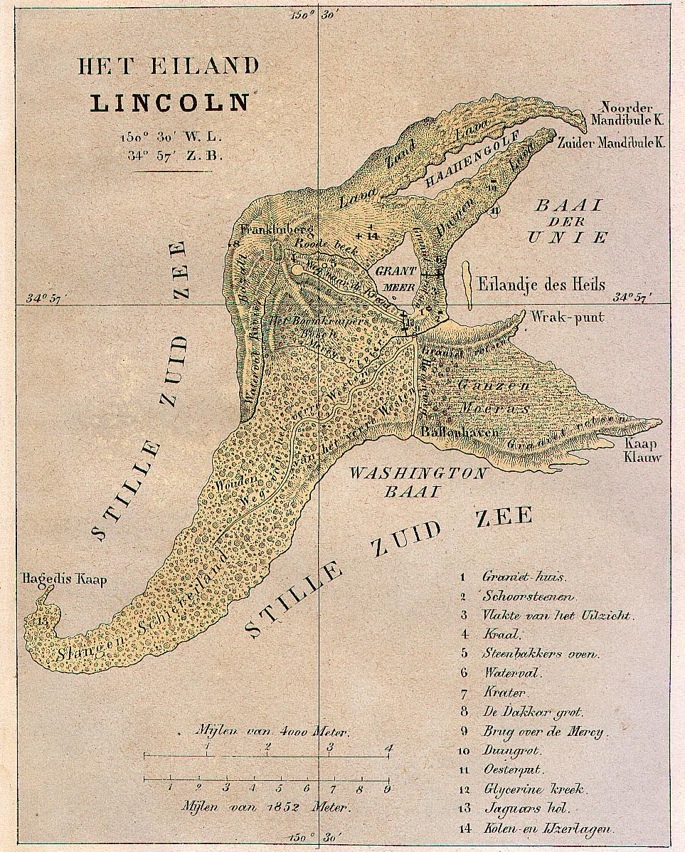
Таинственный островHet eiland Lincoln150° 30’ W.L. 34° 57’ Z.B.
This is a Dutch version of the map that appeared in the original Hetzel edition. |
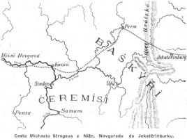 |
Михаил СтроговCesta Michaela Strogova z Nižn. Novgorodu do Jekatěrinburku
Included in an otherwise unillustrated Verne set probably because of contemporary affinity to Russia on part of some Czechs. (Information by Jan Rychlík) |
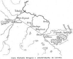 |
Михаил СтроговCesta Michaela Strogova z Jekatěrinburku do Ubinska
Included in an otherwise unillustrated Verne set probably because of contemporary affinity to Russia on part of some Czechs. (Information by Jan Rychlík) |
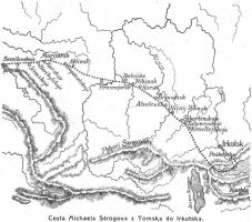 |
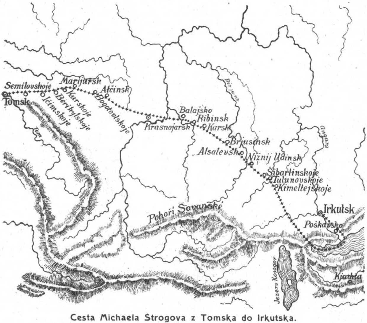
Михаил СтроговCesta Michaela Strogova z Tomska do Irkutska
Included in an otherwise unillustrated Verne set probably because of contemporary affinity to Russia on part of some Czechs. (Information by Jan Rychlík) |
 |
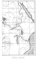
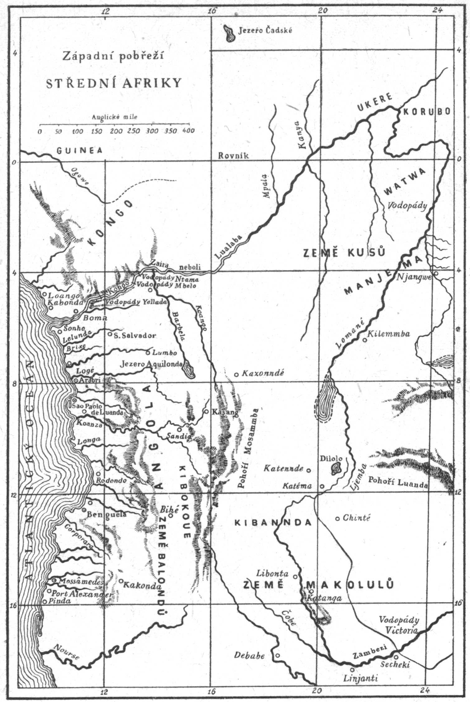
Пятнадцатилетний капитанZápadní pobřeží Střední Afriky
This is a Czech version of the map that appeared in the original Hetzel edition. |
 |
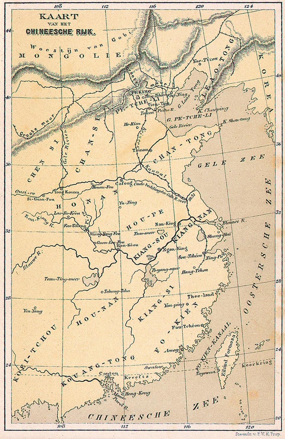
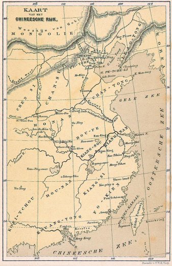
Треволнения одного китайца в КитаеKaart van het Chineesche Rijk
This is a Dutch version of the map that appeared in the original Hetzel edition. |
 |
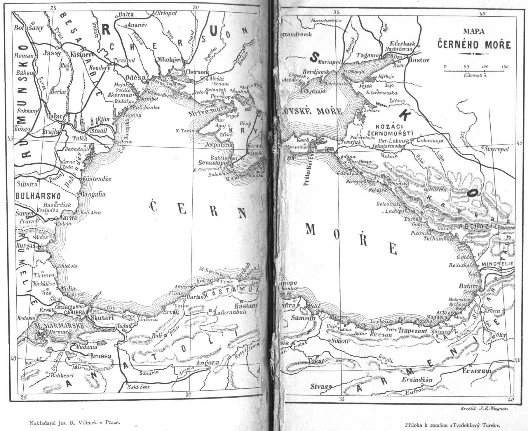
Упрямец КерабанThis is a Czech version of the map that appeared in the original Hetzel edition.
Tvrdohlavý Turek. Jos. R. Vilímek, Prague, 1925 |
 |
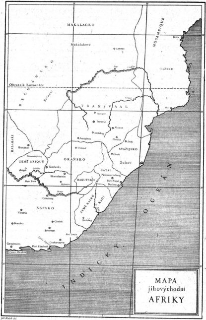
Южная ЗвездаMapa jihovýchodní Afriky
This is a Czech version of the map that appeared in the original Hetzel edition. |
 |
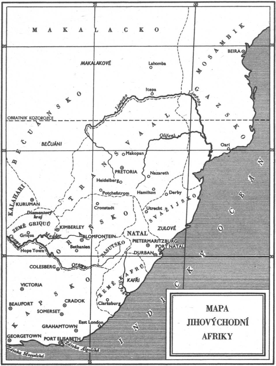
Южная ЗвездаMapa jihovýchodní Afriky
This is a Czech version of the map that appeared in the original Hetzel edition. |
 |
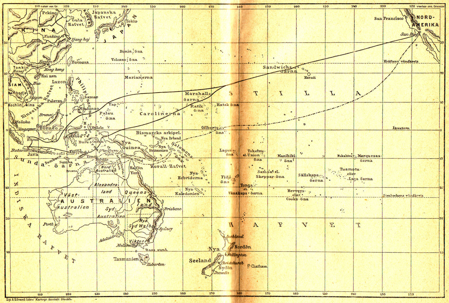
Миссис Бреникен
This is a black-and-white Swedish version of the map that appeared in the original Hetzel edition. |
 |
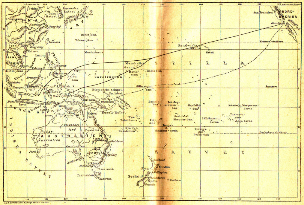
Миссис Бреникен
This is a black-and-white Swedish version of the map that appeared in the original Hetzel edition. |
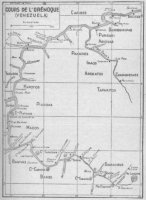 |
Великолепная ОринокоCours de l’Orénoque
Note: this map is slightly different from the original map that appeared in the Hetzel edition. |
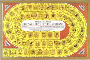 |
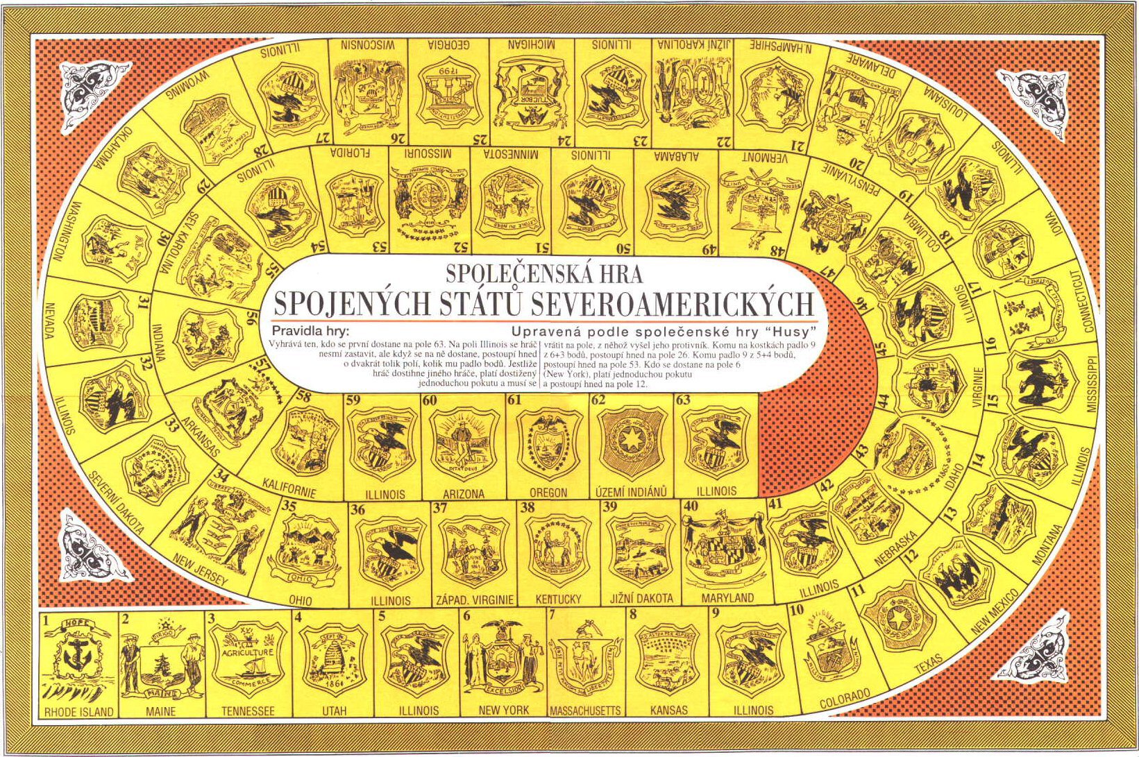
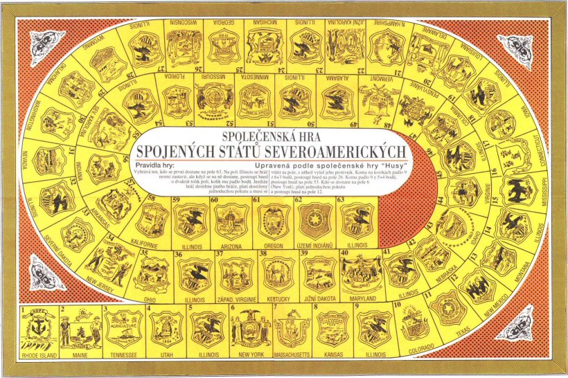
Завещание чудакаSpolečenská hra Spojených států severoamerických
This is a Czech version of the map that appeared in the original Hetzel edition. |